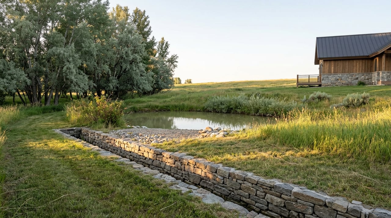
Philip Rossi has run cattle in the upper Yampa River valley for more than a century, counting the generations. This year, he told regional reporters, was the worst he has seen. Not 2012. Not 2002. Not even 1977. The Flat Tops sat nearly bare of snow by January, and by late summer the Upper Yampa Water Conservancy District confirmed that agricultural irrigators across the district received only about half their normal water allocation from storage at Yamcolo and Stillwater reservoirs. Rossi picked the best quarter of his cropland to irrigate and let the rest go dry.
That story broke in regional papers this week, the same week the Colorado Water Congress happened to hold its annual summer conference in Steamboat Springs. It is not background noise for anyone shopping ranch or acreage listings in South Valley right now. It is the clearest real-world test in years of a distinction that listing photos rarely make and buyers rarely ask about: the difference between a property that looks like it has water and a property that legally has the right to use it.
What "Only Half" Actually Means
South Valley listings along Highway 131 and County Road 14 lean hard on water as a selling point, and for good reason. Yampa River frontage, ponds fed by live creeks, views of Lake Catamount. These are real amenities that shape daily life on the land. But a river running past your property line and a decreed right to divert that water for irrigation are two separate legal facts, and Colorado has built its entire water system around keeping that separation strict.
The state operates under what's known as the prior appropriation doctrine, summarized as "first in time, first in right." The Colorado Division of Water Resources explains it plainly: the date a water right was first put to beneficial use determines its priority, and the senior right holder on a stream gets satisfied before anyone junior to them, no matter how much acreage the junior holder owns or how close their fence line sits to the river.
This year is why that date matters more than most. When storage districts like Upper Yampa can only deliver half of normal allocation, the properties that keep functioning are the ones holding senior decrees, not the ones with the prettiest water feature in the drone shot.
A Century of Priority Dates, Written Into the Land
Routt County's water infrastructure didn't appear last decade. In 2023, county commissioners added the Farwell Ditch to the Routt County Register of Historic Places, an 18-mile system with two tunnels blasted through rock, built starting in 1876 to move water from the headwaters of the Elk River. A ranch off County Road 14 south of Steamboat, the Fair Acres Ranch, received the same historic designation that year, its main house dating to 1911.
That history isn't trivia. It's the reason priority dates on decrees in this basin can run nearly 150 years deep, and why a 19th-century right functions in a way a right established last year simply cannot. The same conservancy district managing this year's shortage, Upper Yampa, also owns and operates the Stillwater Ditch, a system with a carrying capacity of 62.5 cubic feet per second that delivers agricultural releases from Yamcolo and Stillwater reservoirs to irrigators elsewhere in the district, serving holders of original water rights alongside newer municipal and agricultural storage contracts. Original rights and storage contracts are not interchangeable, and this year's allocation cuts landed differently depending on which one a property actually held.
Why This Cuts Deeper in South Valley Than Elsewhere in Routt County
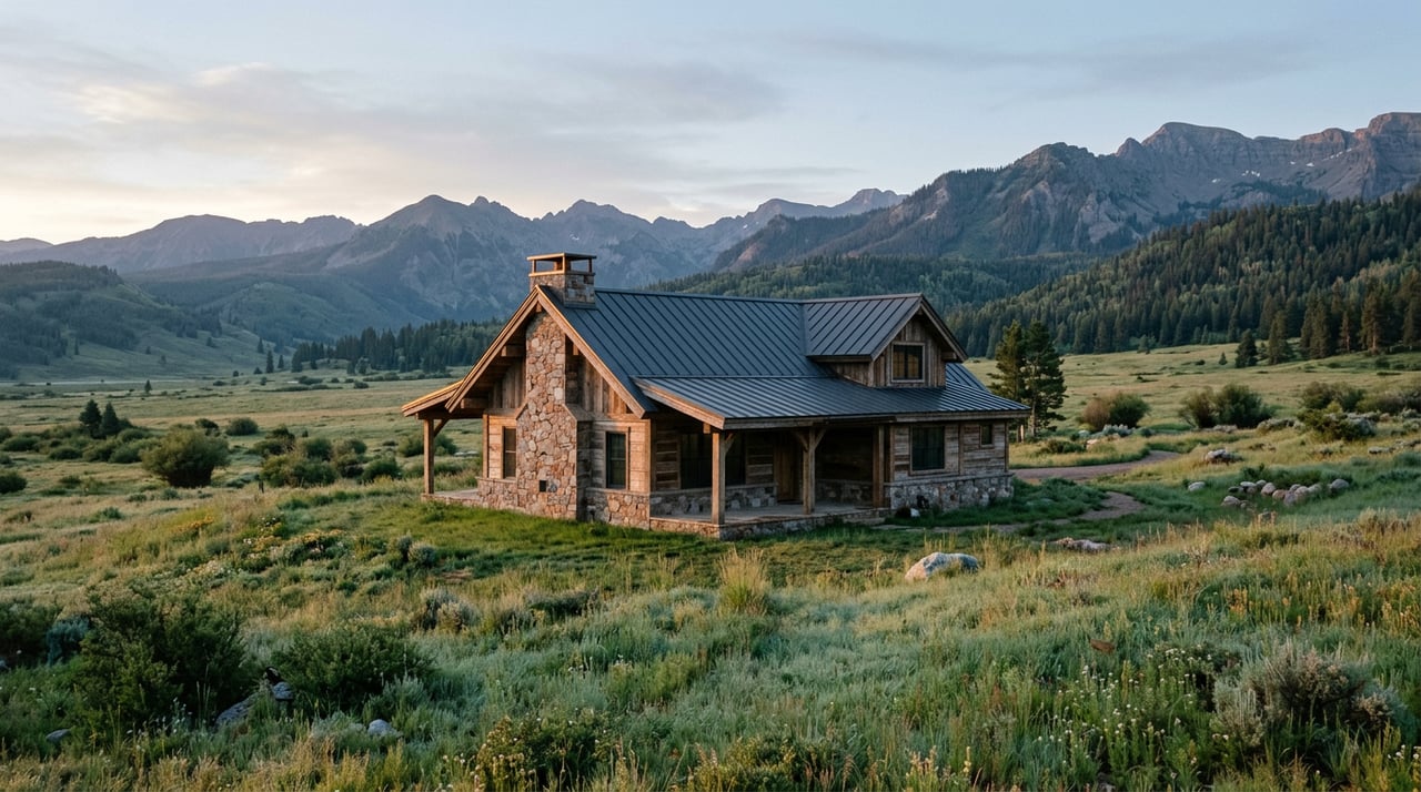
South Valley sits in a specific spot within the larger Yampa Basin story. It's the stretch where Highway 131 winds along the river past Haymaker Golf Course toward the Chuck Lewis State Wildlife Area, a public fishing access point that draws anglers to about two miles of trout water managed by Colorado Parks and Wildlife. It's ranchland that backs up to Lake Catamount and gated communities built around private lake and golf amenities. It's also historically irrigated hay ground, which is precisely the kind of land where senior decrees were established generations ago to keep meadows green through a Colorado summer.
That combination means South Valley carries more properties where the water story is genuinely complicated, not simplified. A parcel might have visible river frontage with no decreed diversion right attached to it at all. Another might carry a senior irrigation decree from the 1880s that kept producing hay even in a year like this one, invisible from the road. Two ranches on the same stretch of CR 14 can look nearly identical in photos and behave completely differently the next time the river gets called.
What the Acreage Number Actually Controls
There's a second layer buyers often skip past, and it has nothing to do with decrees at all. In Colorado, the size of a parcel changes what kind of well permit it can even qualify for.
| Typical parcel size | Usual well permit type | What it generally allows |
|---|---|---|
| Under roughly 35 acres | Household-use permit | Indoor use only, sometimes limited outdoor watering |
| 35 acres or more | Expanded domestic well permit | Home use, fire protection, watering of domestic animals and livestock |
| Land with a decreed irrigation right or ditch share | Governed by priority date, not acreage | Irrigation of hay meadows and pasture, subject to river call in dry years like 2026 |
A smaller South Valley ranchette and a larger acreage parcel next door can end up on fundamentally different water systems, one relying on a household well with real restrictions on outdoor use, the other tied into a century-old irrigation decree that behaves nothing like a well permit in a drought year. Neither is automatically the better buy. They're different assets that happen to share a zip code.
What to Actually Ask Before You Write an Offer
The questions worth asking on a South Valley acreage or ranch property go past "is there water here" to something more specific:
What is the priority date on the decree, and is it a decree at all, or simply live water with no adjudicated right attached? If the property relies on a ditch company, what do the annual assessments look like, and what condition are the headgates and flumes in? Is the water delivered through storage, like a Yamcolo or Stillwater contract, or through a direct river diversion with its own priority number? For smaller parcels, does the existing well permit allow outdoor irrigation at all, or only indoor household use? And critically, in a year like 2026, what did this specific property actually receive, not what it's entitled to on paper?
These aren't questions a listing sheet answers. They're questions for a water attorney or the Colorado Division of Water Resources records, ideally before a due diligence period closes rather than after.
The Price Doesn't Show This Either
Local market reporting heading into this year's construction season described Yampa Valley land and acreage as trading thinly and pricing idiosyncratically, where water rights, access, and build-ready status matter more than any per-acre average could capture. That's not a caveat. It's the actual mechanism setting South Valley land values right now. Two parcels can carry wildly different prices per acre for reasons that have nothing to do with square footage or view corridor and everything to do with a decree number buried in county water court records.
Build season in Steamboat runs May through October, and buyers moving on land this year are already underwriting construction costs that assume reliable water. A shortage year like 2026 is an unusually clear moment to see which South Valley properties actually deliver on that assumption and which are counting on a river view to do work a decree never signed up for.
Frequently Asked Questions
Does owning land next to the Yampa River automatically give me the right to irrigate from it? No. Colorado water belongs to the public and is allocated through adjudicated water rights, not automatically granted by property ownership along a stream. A property can have river frontage with no decreed diversion right at all.
If a property survived this year's shortage fine, does that mean its water right is secure long term? It's a strong signal, particularly if the right has a senior priority date, but it's not a substitute for reviewing the actual decree and its history of beneficial use. Water rights can be lost through abandonment if they go unused for extended periods, so historical use records matter alongside the paper decree.
Is a domestic well permit the same thing as a water right? No. A well permit from the state defines how, when, and where you can use groundwater, and it does not carry the same weight as an adjudicated surface water decree tied to a stream system. The two systems overlap in Colorado law but function differently, especially during a shortage.
South Valley remains one of the more layered corners of the Routt County market, and this year made the layers visible in a way most seasons don't. If you're weighing a ranch or acreage purchase here and want a clear read on what a specific property's water situation actually looks like before you write an offer, The Metzler Team can walk the details with you and point you toward the right water attorney or engineer for anything that needs a closer look. Contact us when you're ready to talk through a specific parcel.